Riverside Bicycle Routes in Korea
So far our favorite ride, construction on this route was completed in 2015 and is a bicycle route that follows Korea’s four major rivers: Hangang River, Nakdonggang River, Geumgang River and, Yeongsangang River— stretches 1,757 kilometers across the country and takes riders past traditional Korean villages, historical relics, and restaurants with traditional Korean food. The routes are mostly on paved bicycle paths that feature vehicle free cycling and offer a variety of convenience facilities including camp sites, food stops and covered shelters. Bicycle rental shops are on the way, so visitors can rent a bike and gear.
Korea is a great cultural experience that many westerners do not understand. Traveling in Korea is good way to learn the history of the region and how the country of South Korea sees its relationships with neighboring countries. And don't forget the food. There are many interesting Korean specialties to try along the way.

On the Hangang River (한강) river path a little south of Seoul. The four rivers trail system was created K-Water to rehabilitate and repair areas along the rivers and to make the areas safer from floods.
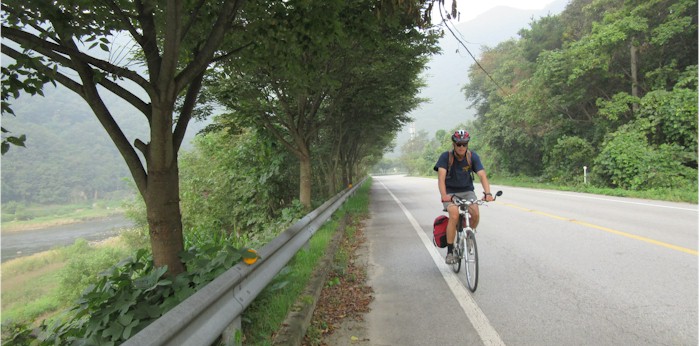
This is a easy system of cycling paths that anyone can follow and is suitable for all ages. Just follow the signs that indicate the route. Some of routes are on roads but traffic is light. The Seoul to Busan route can be done with a couple of weeks of pedaling
Guides, Maps and Other Information

Rivers guide by K-Water Covers all of the river routes but doesn't provide much detail. Lists all the major routes and shows where the routes are located. This is a great place to start when looking for information. The site shows all the major paths and their location.

Korea Tourism Organization Has some short descriptions of a few of the routes plus many articles about Korea. You can also try this link. And click the search button. It will list all bicycle rides on the sites in Korean. Turn on Google Translate for other languages.

Korea By Bike, Has good descriptions of the routes but too many ads.

Ministry of Interior site on "Happy" routes. Is good for an overview of what's out there.
 Korea.net Korea.net is the Internet portal that represents the voice of the Korean government and which promotes Korea online. Not specifically about cycling but has lots of info.

Naver Maps This the "Google Maps" of Korea only better. Has amazing detail and shows bikes paths. Click on 자전거 to turn on cycle paths. Or by clicking Theme > Bicycle icon on the right side of the map home screen. Click here for what to look for:
Riverside Bike Trails in Korea PDF made by the South Korean Tourist office.
See the Maps and Guides page for more mapping information.

Click on map for larger image
Downloadable guides in PDF format. These are out of print.
Geumgong and Yeongsang as an Ebook
There are many cycling apps with maps available for iphone and android. A couple of the better offline apps are listed here.
 Maps.me is listed here because it is the app we use most often for navigation on roads or on trails. It is based on OpenStreetMap and covers most of the planet. It does not display OpenCycleMap.
 Guru Maps has the ability to show map types other than OpenStreetMap, in particular it will display OpenCycleMap.
What it is Like
Korea is a place where any cyclist can find a route to please them. Those who want an easy ride can follow the 1,700 kilometers of long-distance cycle paths. In the far north there are opportunities for cyclists who love the challenge of switchbacks and steep climbs. In the south you can take a ferry to semi-tropical Jeju island and follow the serene coastal cycle paths.
- Travel Tips and
and  will ship bicycles for free as baggage. Must be under 50 Lbs.
- Ride Quality
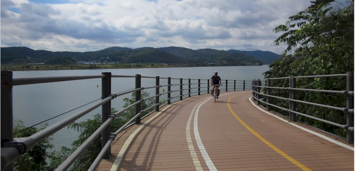
Mostly on paved pathways near major rivers. Road sections are on small agricultural roads. In a few areas the path may be near busy roads. Some sections are on causeways dedicated to cyclists.

Typical Riverside Path Dedicated to Cyclists.
- Elevation Change
The routes are mostly level but in some areas the routes travel through hilly terrain. Although the steeper sections are on roads, traffic is very light.

Some of paths are actually roads but traffic is light.
- Best Season
September, October, and November. Summers can be hot and wet and winters are cold.
- Options
Busan is an easy place to start a ride, transportation from the airport is by light rail and only takes a few minutes. Many hotel/motels are near the light rail system. Busan is also the place to catch a ferry to Jeju Island which has a round the island cycle route.

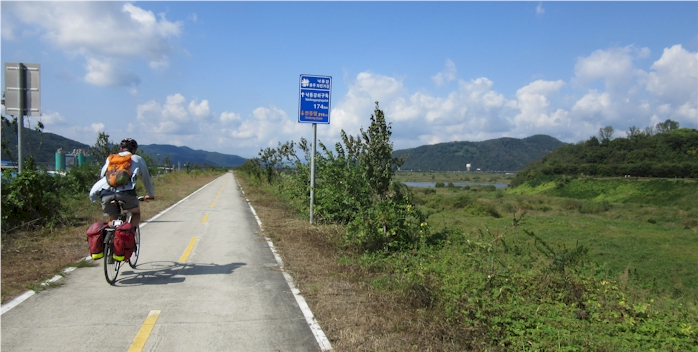
Korea riverside path. Just follow the signs to know where you are. Some riders may find this a little unexciting because its so easy but if that is the case just ride faster.

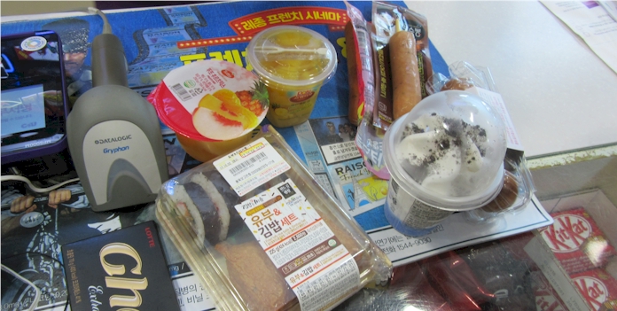
There is always plenty of fast food along the way at K-Water facilities or convenience stores. There are many K-Water informational centers where you can use free Wi-Fi and relax in beautiful surroundings. Finding hotels, restaurants and grocery stores is a little difficult especially if you are not used to the language. In some locations you will have to leave the cycleway and go into a nearby town for services. Camping is a possibility along the cycleways,

You will not be alone on this ride. The cycleway is used by many local cyclist and people from other countries.
Links to More Detailed Information about Riding in Korea